
Reading Time: < 1 minute
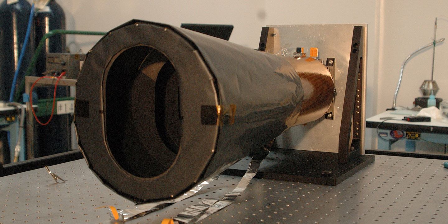
This is the Google Earth equivalent for Mars. You can explore the planet and view high-resolution images. The images were captured by the Mars Reconnaissance Orbiter (MRO) and its Context Camera (CTX). The camera takes grayscale (black & white) images at 6 meters per pixel scale over a swath of 30 kilometers wide. The photos are taken at an altitude of 186 miles (300 km) above the planet’s surface. The CTX provides a big-picture, background view of the terrain around smaller rock and mineral targets studied by other Mars Reconnaissance Orbiter cameras like HiRISE and CRISM.
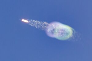
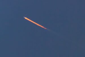
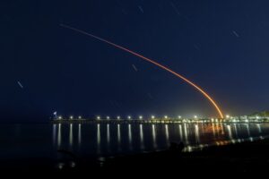
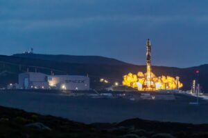
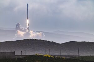
Ever since I watched my first rocket launch, I got more interested about all the imaging which is done in space by all the space agencies across the globe.
All the details about CTX can be found on NASA’s website.
Peter is an award-winning photographer who travels all over the world to capture the beauty of our planet as well as the achievements of humanity. Follow Peter on his travel blog Gate to Adventures for more amazing places to go and explore.


)
&description=&image=https://peterreinold.com/wp-content/uploads/2023/04/Mars-MRO-CTX-1000x562.jpg)